
On a Saturday afternoon in Tecopa, over pizza from the Kit Fox Café, scientists and local residents gathered at the community center to reckon with a quiet emergency. The subject was the middle portion of the Amargosa River — what it still holds, what it is slowly losing, and what it will take to keep it. The occasion was a public meeting on a $2.9 million planning grant from the California Wildlife Conservation Board. But the conversation that unfolded was less about grant mechanics than about the precarious state of one of the northern Mojave’s most extraordinary living systems — the Amargosa Basin, still functioning and under pressures that are often concealed until the damage is done. The message from every presenter was the same: this money funds a diagnosis, not yet a cure.
What the grant actually pays for
Holly Fischer, Restoration Program Manager at the Amargosa Conservancy, opened the meeting by describing the grant’s scope: habitat research, water analysis, vegetation mapping, permitting groundwork, and ecological monitoring. The grant is a collaboration between the Amargosa Conservancy, American Bird Conservancy, Roux Inc., River Partners, UC Davis One Health Institute, and the California Botanic Garden. Under the Wildlife Conservation Board’s own guidelines, planning grants are designed to fund the diagnostic work that leads to a future, separate implementation grant — not the restoration itself.
That distinction mattered to audience members, several of whom asked directly whether the actions described on the slides were funded and ready to go. The answer: the current award covers planning only. As hydrogeologist Andy Zdon put it, “This grant is we’re planning, you know, the data, so we know what actions that should be done. And then if that’s approved, it would be another set of money for actually going out there and doing the removal, doing the planting, doing the monitoring.” The planning phase runs through March 2028. An audience member summed up the math: “So we’re talking really six years to have everything completed.” Presenters confirmed that was right.
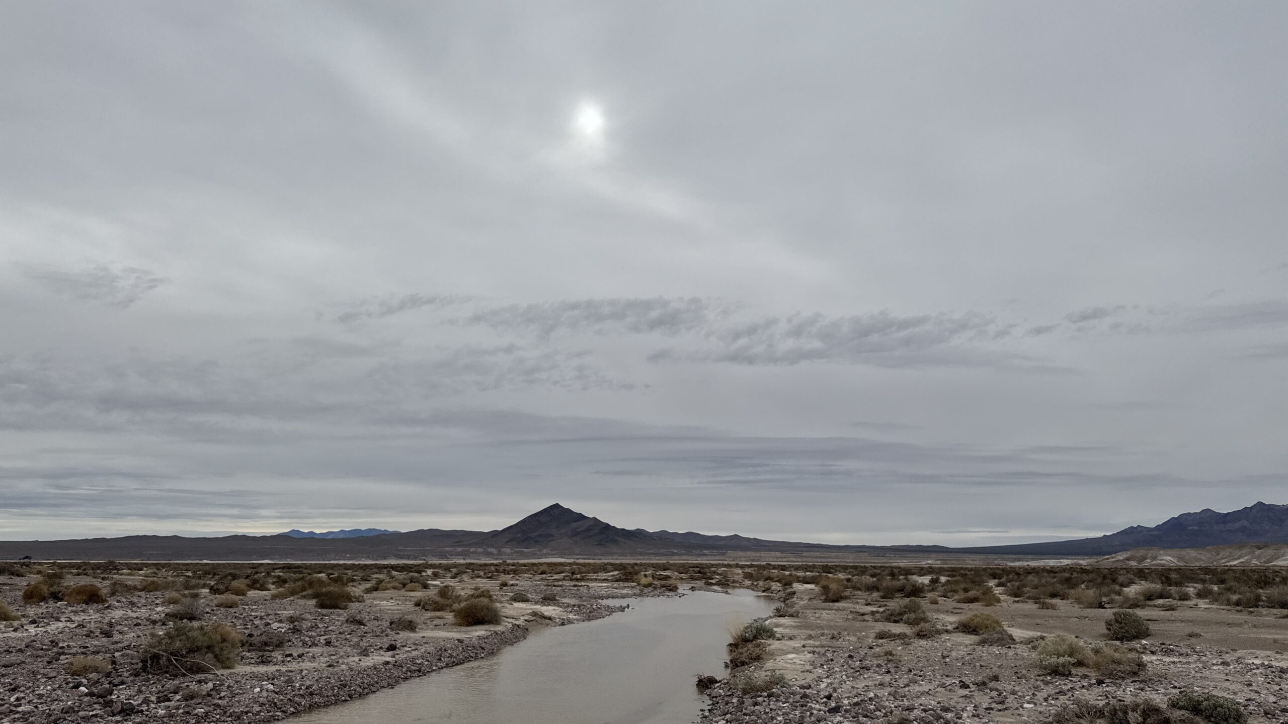
Why this stretch of desert matters
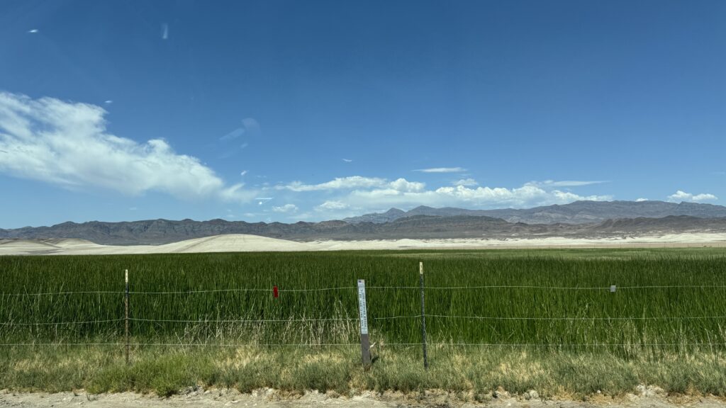
Chris McCreedy, Southwest Riparian Bird Recovery Coordinator at the American Bird Conservancy, put the Amargosa in broader context. California has lost most of its riparian habitat — the lush corridors of trees and shrubs that line rivers and streams. What remains supports a disproportionate share of the state’s wildlife, and the Amargosa, McCreedy said, is one of the best examples left.
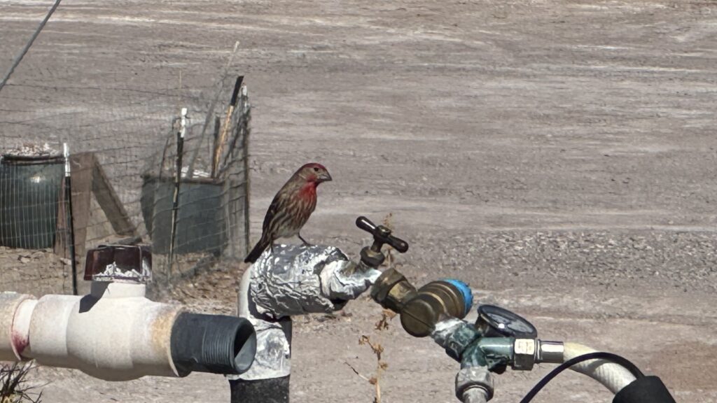
His evidence was striking. In 2022, nest monitoring in the canyon found that every tracked nest successfully produced young. “Every single nest that I found — 100% success,” he said. For context, he noted that in typical songbird studies, “if you get maybe 30%, 35%, you’re kind of treading water with your productivity.” The Amargosa’s numbers suggested the corridor was functioning as a genuine breeding engine for the broader desert — not just a rest stop for passing birds. “It’s almost like — I even joke with people — it’s like a bird farm. It’s just growing songbirds here.” Among the listed riparian-associated species nesting along the river are Bell’s Vireo, Yellow Warbler, Yellow-breasted Chat, and Summer Tanager.
Laurel Sebastian, Restoration Ecologist and Program Manager at River Partners, described a mix of planned approaches: removing invasive tamarisk, replanting with locally sourced native plants, and where water is available, temporary irrigation to help new plantings survive. Last November, the team completed a high-resolution multispectral drone survey of the canyon; the resulting imagery is currently being analyzed to map tamarisk cover, and elevation data from the survey will inform future planting locations. She was candid about the challenges, particularly around tamarisk removal — a repeated pattern in the basin has been clearing without follow-up planting. “That often hasn’t been paired with replanting — sometimes it is, but often not. So we are trying to have a more defining strategy to pair those more.”
The water problem underneath everything
The most sobering portion of the meeting came from Zdon, Technical Director at Roux Inc., and Rachel Maxwell, Senior Scientist, who are building a detailed model of how groundwater moves through the basin — a system that spans both California and Nevada and is governed by different rules on each side of the state line. What happens to aquifers in Nevada, Maxwell explained, directly affects springs in California.
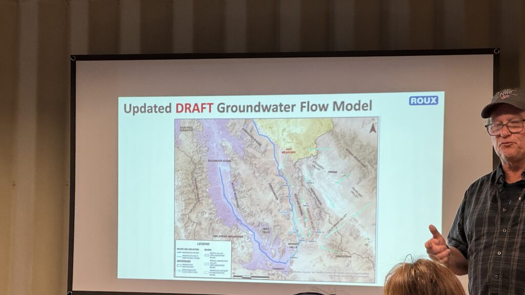
Their monitoring was compiled in The State of the Basin report and has found troubling trends. Of the dozens of springs documented across the basin, Maxwell and Zdon select 24 to visit during each monitoring session, recording flow, water quality and signs of ecological change. Three springs — Scofield, Thom, and Tule — have gone completely dry in recent years, while Red Trail, Twelvemile, and Wild Horse have gone intermittently dry. One historical spring — Chappo Springs — once flowed at roughly 100 gallons per minute and now produces less than 10. Groundwater levels are declining at monitoring wells north of Shoshone and in Stewart Valley, though levels are rising at Dumont Dunes, Married Man’s Camp, and Chicago Valley — where a dramatic dip and partial recovery tied to recent seismic activity offered a vivid illustration of how quickly underground conditions can shift.
Zdon drew a pointed lesson from that history. “Change happens very slowly. It’s very incremental,” he said. “Chappo Springs lost 97% of its flow, but it happened so slowly that in the absence of detailed monitoring, it was imperceptible on a year-by-year basis that that change was happening.” The implication was clear: serious ecological damage can accumulate unnoticed until it is already deep.
Zdon and Maxwell are using water chemistry, isotopes and radiocarbon analysis to understand where the water comes from and how old it is — questions that carry particular weight given that Yucca Mountain and the Nevada National Security Site sit north of the headwaters. The work could take years to yield clear answers. Their recommendations called for new monitoring wells, additional precipitation stations, geophysical investigation and continued refinement of a basin-wide groundwater flow model.
A rare vole and the marsh it needs
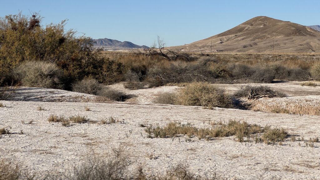
The final presentation came from Jess Steketee, Field Scientist at UC Davis, who focused on one of the basin’s most vulnerable residents: the Amargosa vole, a subspecies found only in a few marshes near Tecopa and Shoshone. The vole depends almost entirely on three-square bulrush — an aquatic plant that grows in the marsh — for cover, nesting material and food. Its habitat is fragmented, and populations can be wiped out by drought or fire. A Borehole Spring marsh fire in February 2025 caused Bureau of Land Management to install fencing around the marsh to protect its regrowth.
The “Mega-marsh Project” described at the meeting aims to evaluate whether water can be redistributed within the marsh complex to create larger, better-connected habitat — a question that gets surprisingly specific: whether particular spots are too deep, too shallow, or just right for a small rodent most visitors have never heard of. The old Tonopah and Tidewater Railroad grade, abandoned for nearly a century, now bisects the Tecopa marsh and has thrown its hydrology out of balance — water pooling too deep on one side, the ground too dry on the other. Steketee presented three options for rebalancing it: using an existing break in the railroad grade to expand marsh area, redistributing water through the grade itself, or redirecting flow through an existing break.
Realistic about the limits
Speakers stressed throughout the afternoon that restoration at the Amargosa is a long-term commitment, not a one-time fix. Tree planting does not produce bird habitat overnight. As one presenter noted, funders and the public should understand “it takes a long time to grow trees to that suitable habitat level” — and that the real results of today’s work may not be visible for many years. The schedule ahead reflects that patience: field surveys are planned for summer and fall of 2026, seed scouting and collection continuing through 2026 and 2027, with Before-After-Control-Impact monitoring beginning in 2027. The grant closes in March 2028.
That realism extended to community involvement. Presenters described volunteer opportunities in trail maintenance, seed collection and planting events, and noted that the grant would likely create at least some local jobs — meaningful in a very small community. Presenters mentioned that Susan Sorrells of Shoshone — who was not at the meeting — is exploring a native plant nursery that could supply locally sourced plants for the project and give residents their own avenue into restoration. They also emphasized that the data generated here — groundwater records, vegetation maps, species monitoring — would be freely available and potentially useful for desert conservation far beyond Tecopa.
The Wildlife Conservation Board retains sole discretion over whether to fund future implementation. Nothing from the planning phase guarantees that implementation will follow. But the afternoon ended with something rarer than a restoration promise: a clear-eyed account of a place that is still worth saving, and a serious attempt to understand it well enough to try.
Days later, the grant projects came before a wider audience when Mason Voehl, Executive Director of the Amargosa Conservancy, presented them to the Inyo County Board of Supervisors. Voehl used the occasion to flag a separate but related deadline: a comprehensive management plan for the Wild and Scenic River, due from the BLM by September 30th. “This is one of the most significant management plans in the West,” he told the board. “This one will guide the future of management of not just this section of the river, but it’s probably the only tool to really leverage against over pumping upstream as well down the road.” He urged the county to engage at every step of the process.
What the afternoon discussion made clear is that the Amargosa is not failing — it is warning. The springs are giving signals that take years to read and longer still to act on. This grant is, at its core, a commitment to finally pay attention.
Leave a Reply