
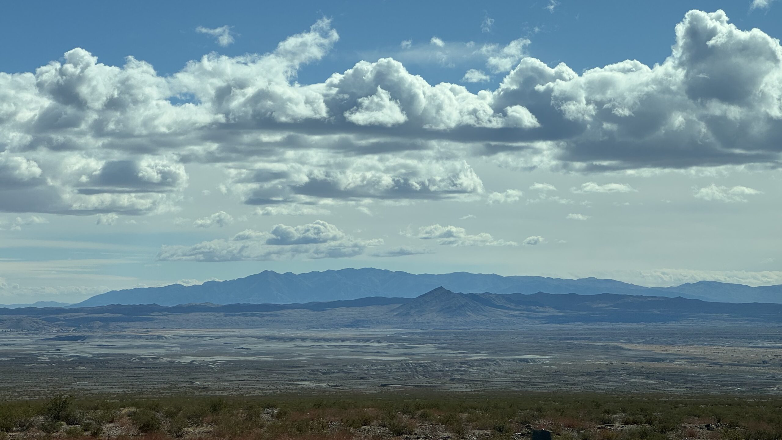
A doctoral dissertation out of the University of Nevada, Las Vegas reports clear evidence that the riparian woodlands along the Amargosa River—spanning Ash Meadows, Shoshone, and Tecopa—are undergoing significant climate-driven decline.
In her 2024 Ph.D. dissertation “Effects of Climate Change on (Semi)-Arid Ecosystems in the Southwestern United States,” researcher Charlotte van der Nagel analyzed three decades of vegetation and groundwater data to understand how desert ecosystems are responding to prolonged drought and extreme weather swings. Her findings point to a tipping point in some of the Mojave Desert’s most ecologically unique riparian zones.
A Widespread Die-Off Along the Desert’s Lifeline
Using satellite-derived NDVI (Normalized Difference Vegetation Index) data from 1993 to 2023, Van der Nagel documented a massive die-off of riparian woodlands dominated by screwbean mesquite between 2010 and 2012 along the Amargosa River corridor. Vegetation health plummeted and never recovered to pre-drought levels.
The losses were most severe at Ash Meadows National Wildlife Refuge, Shoshone, and Tecopa, where NDVI dropped sharply after a prolonged dry period followed by intense rainfall in 2010–2011. The event, she wrote, “marked a rapid, unrecoverable decline in riparian vegetation health.”
Subsequent monitoring revealed smaller, localized die-offs in the years that followed—especially around Ash Meadows after 2015—indicating lingering stress on the system even after the initial collapse.
Drought, Then Flood
Van der Nagel’s analysis ties these mortality events to a repeating climatic pattern: multi-year drought followed by sudden flooding. The droughts of 2002–2005, 2007–2010, and 2012–2016 were punctuated by unusually wet years in 2005, 2011, and 2016/17, producing swings in groundwater levels that riparian trees could not survive.
Groundwater-dependent trees like screwbean mesquite rely on shallow roots to access surface moisture and deeper roots to reach the water table. During long droughts, upper roots die back. When floods suddenly raise groundwater levels, oxygen-deprived soils effectively drown the lower root systems. The result: widespread mortality across the desert’s green ribbons of life.
“Negative NDVI trends were observed when annual precipitation exceeded 115 millimeters in combination with severe drought conditions,” Van der Nagel found through regression tree analysis—evidence that “wet years following extreme drought” are the most dangerous for these ecosystems.
A Regional Pattern With Local Vulnerability
While the study compared multiple river systems across the Southwest—including the Virgin, Muddy, and Gila Rivers—only the winter-storm–dominated basins of the Mojave exhibited such large-scale dieback.
In contrast, monsoon-fed systems in Arizona and New Mexico, such as along the Gila River, showed consistent vegetation recovery and no comparable mortality. According to Van der Nagel, that difference underscores how the Amargosa River Basin’s hydrology—fed by springs and episodic floods rather than steady rainfall—makes it uniquely vulnerable to climate volatility.
A Canary in the Desert
The study concludes that the Amargosa’s riparian forests—long thought to be buffered from drought by groundwater access—are no longer resilient under the pace and intensity of modern climate change. Once these mesquite groves die, they rarely regenerate, altering habitat for countless species that depend on the Amargosa’s rare surface flow.
Van der Nagel warns that this pattern “may intensify under projected twenty-first century climate variability,” marking Ash Meadows, Shoshone, and Tecopa as “sentinel sites for climate-induced riparian collapse in the Mojave Desert.”
Implications for the Amargosa Basin
These findings deepen scientific understanding of how desert riparian systems—critical for biodiversity, flood control, and groundwater recharge—respond to a warming, drying climate. They also echo concerns among local conservationists that the Amargosa River’s delicate balance of springs, seeps, and phreatophyte woodlands may be unraveling.
For communities like Tecopa and Shoshone, perched along the river’s course, the research underscores the stakes of managing water and land use in step with an increasingly unpredictable climate.
As Van der Nagel’s dissertation makes clear, the Mojave’s quiet desert forests are not immune to global change—they’re among its first casualties.
Source:
Charlotte van der Nagel, “Effects of Climate Change on (Semi)-Arid Ecosystems in the Southwestern United States” (Ph.D. Dissertation, University of Nevada, Las Vegas, 2024)
Leave a Reply