
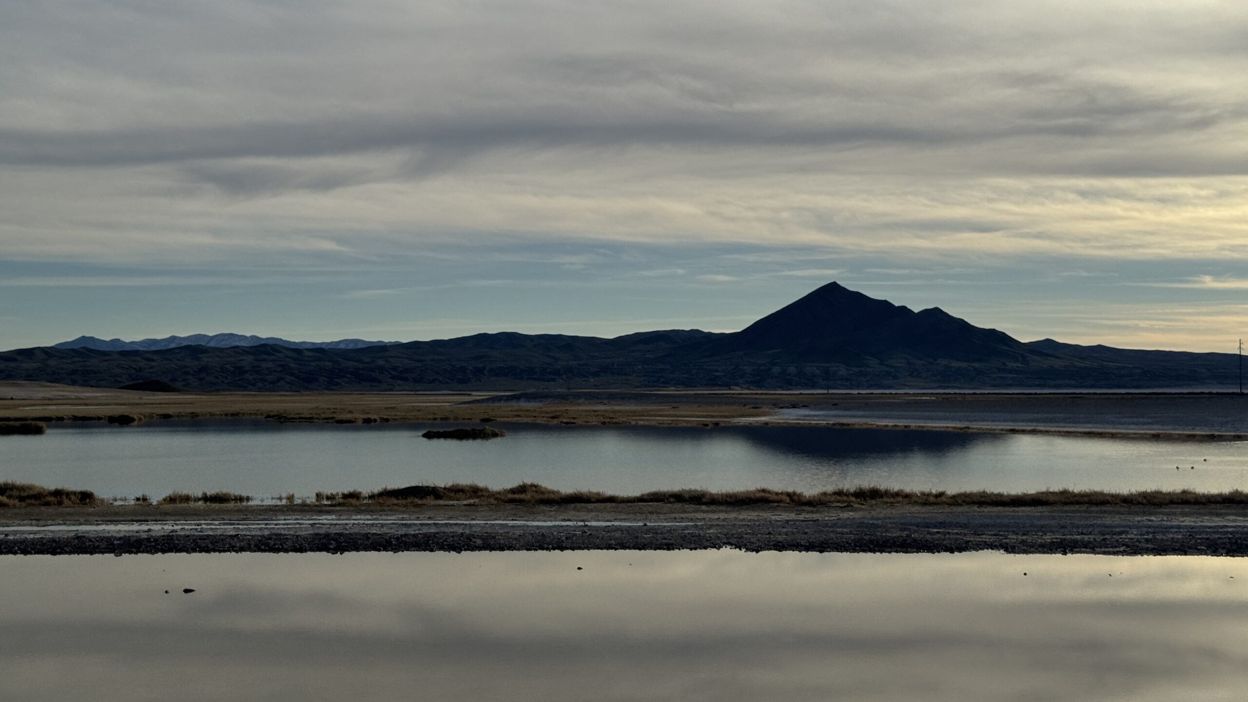
On a recent Zoom briefing hosted by the Amargosa Conservancy, hydrologist Andy Zdon and project staff presented new monitoring results that show a mixed trajectory for the Amargosa Basin: some groundwater trends are stabilizing or edging upward in a few locations after years of decline, while several springs that previously showed surface water are now dry during recent site visits, and Salt Creek’s post-flood habitat changes are being followed by a surge of juvenile tamarisk.
The presentation centered on the Conservancy’s long-running “State of the Basin” work in the Amargosa watershed—a system that spans Nevada and California, crossing multiple groundwater basins and jurisdictions with different groundwater rules. Speakers emphasized that the basin’s most consequential changes can unfold so gradually that they are easy to miss without sustained measurement.
Monitoring Slow Change
Project staff outlined a field program designed to answer two core questions: what water sources feed the Amargosa River and its spring ecosystems, and what impacts—human or climatic—could threaten those sources.
Their work combines:
- Spring monitoring: repeated site visits to document location and access, spring type, flow (gallons per minute), basic water-quality parameters (including temperature and dissolved solids), and ecological observations (plants, wildlife presence, tracks/scat).
- Groundwater monitoring: water-level measurements in eight monitoring wells, with data loggers in seven collecting readings twice daily (5 a.m. and 5 p.m.), supplemented by hand measurements during field visits.
- Field observations: documentation of landscape and habitat shifts that can alter spring function and river conditions, especially after storm and flood events.
Speakers described the monitoring as a practical necessity in a basin where groundwater can move regionally and changes may be expressed at springs decades after pumping or climate shifts occur.
The “State of the Basin” Report
Zdon said the team has completed an updated “State of the Basin Report,” described during the talk as a large document with extensive appendices meant to serve as a public data repository, not just a narrative summary. Appendices include a spring-by-spring catalog with field sheets, photographs and videos, historical agency spring files collected in earlier records searches, water-rights documentation for California and Nevada, climate snapshots for the Shoshone–Tecopa area (using Cal-Adapt outputs), well data and hydrographs, and trend graphs tracking spring flow and water quality over time.
The report also includes memos reviewing and critiquing the U.S. Geological Survey’s Death Valley groundwater flow model (“DV3”), along with technical analyses related to regional proposals and potential future water demand.
What Dry Looks like in Real Time
Zdon framed part of the evening around a long-view lesson: in large desert basins, decline can be incremental—small enough that casual observation won’t catch it—until the cumulative loss becomes unmistakable.
He illustrated that point with a history puzzle involving Chappo Spring and an early 20th-century reference to “Yeoman Hot Spring,” reported historically at over 100 gallons per minute but not identifiable under that name today. Zdon said archival references and local historical research suggest “Yeoman” may have been Chappo, which now flows at only a fraction of that volume. The lesson, he argued, is that without systematic monitoring, a spring can lose most of its flow over a human lifetime without a clear moment when the change becomes obvious.
Against that backdrop, Zdon reported that multiple springs that once showed surface water earlier in the project’s monitoring record now show none during recent visits, including sites where the team has recorded “no surface water present” in the last monitoring events. He described this as consistent with a basin where change can be slow, uneven, and expressed differently from one sub-area to another.
Rebounding and Stabilizing
While describing long-term decline in many areas, Zdon highlighted a few developments that he called encouraging:
- A monitoring well north of Shoshone (ARHS-1) that had shown a subtle but consistent decline for years has stabilized around 2022, with recent measurements close to flat over multiple years.
- Near 12 Mile Spring in Chicago Valley (ARHS-3), groundwater levels have risen roughly about half a foot since around 2021 after a long period of drop. Zdon described 12 Mile as the spring most chemically connected to Pahrump Valley groundwater, and he suggested the rise may represent lagged recovery from reduced pumping compared with mid-century peaks.
- In California Valley (ARHS-10), Zdon described a complex pattern involving earthquake-related changes and subsequent declines, followed by recent consecutive rises totaling on the order of roughly three-quarters of a foot since a low point in late 2024—raising hope that springs like Cooley Spring could regain water if the upward trend holds.
Zdon cautioned that these shifts should not be read as a basin-wide turnaround. Other locations continue to show steady declines, including a well near the California–Nevada line in Stewart Valley, which he said continues dropping on the order of about a quarter-foot per year, consistent with longer-term behavior since installation.
Borehole Spring Shifts
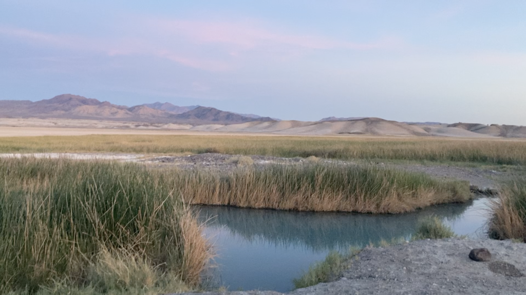
Among the sites discussed, Borehole Spring emerged as a focal point because of its ecological significance—and because the monitoring record shows subtle but noteworthy change.
Why Borehole Spring matters
Project staff described Borehole Spring as central habitat for the Amargosa vole, which they identified as one of the most endangered mammals in North America. They said the vole is associated with spring ecosystems in the basin and noted that the overwhelming majority of its population is concentrated around Borehole Springs, with additional habitat connections to places like Dodge City Spring and Shoshone Spring.
The practical meaning is straightforward: in this system, some springs are not interchangeable. If Borehole’s condition shifts, there is limited ecological redundancy.
What they’re seeing at the Borehole
Zdon said Borehole’s hydrograph (drawn from USGS publicly available data) suggests a slowly decreasing trend in groundwater levels at that site. He also reported that water-quality measurements show an “interesting” pattern: total dissolved solids (TDS) are trending downward, meaning the water is becoming slightly fresher than earlier readings. He added that the spring may also be showing a cooling trend compared with initial measurements.
Those are small, technical signals, but they matter because they can indicate changes in source water contribution or mixing—for example, shifts in how much water is coming from deeper, more mineralized pathways versus shallower, fresher components, or changes in the flow paths feeding the spring. Zdon did not claim a single proven cause during the talk; he presented the trend as something that warrants continued attention.
What the Borehole illustrates about the basin
Borehole is a case study in the theme Zdon returned to repeatedly: the most consequential changes in the Amargosa can be quiet. A spring doesn’t have to “fail” overnight to create a crisis; a long-term trend line can alter habitat conditions gradually until a threshold is crossed for sensitive species.
Salt Creek Tamarisk Return
Salt Creek Spring was described as a place where hydrology and ecology are colliding in visible ways. They said monsoonal storms and hurricane-driven flooding in 2023 dramatically altered the site—removing vegetation, changing the channel, and reshaping what the spring corridor looks like compared with prior visits.
Now, they said, Salt Creek is being inundated by large numbers of juvenile tamarisk, a fast-growing invasive with a track record of altering riparian systems. Zdon noted Salt Creek had once been considered a tamarisk mitigation success story; the new recruitment suggests a reversal that will require attention.
Everything Comes from Somewhere
In the Q&A, a participant asked whether Pahrump is primarily dependent on groundwater pumping and whether continued development will affect springs in the Amargosa. Zdon’s answer was direct: pumped water comes from somewhere, meaning additional pumping reduces groundwater that would otherwise flow out of the basin—toward springs, adjacent basins, or other discharge points.
Zdon said pumping has decreased substantially compared with the “glory days” of the 1960s and 70s, when he described withdrawals as extremely high relative to recharge. But he also pointed to an emerging concern: warming temperatures and declining recharge potential could offset gains from reduced pumping, producing a “bleak” long-term picture if climate trends reduce the amount of water entering the system.
He cautioned that springs like 12 Mile—already dramatically diminished from early historical accounts—may never return to their early-1900s condition, even if some partial recovery occurs.
Next Steps
Zdon closed with a set of recommendations framed as both scientific necessities and management priorities:
- Keep the monitoring program funded long-term. The current grant supports monitoring into the first half of 2028, but speakers stressed the need to plan for what comes after because basin-scale change plays out over generations.
- Add new monitoring wells, especially deep wells in complex junction areas where shallow monitoring cannot fully explain flow paths. Zdon said deep wells are expensive—on the order of millions of dollars—and require rare funding opportunities.
- Expand precipitation monitoring across elevation bands to better quantify recharge, including stations in higher ranges such as the Kingston Range.
- Continue geochemical and isotopic sampling of springs and wells to better identify sources and track changes.
- Use geophysics to better map structural controls on groundwater flow, particularly along fault systems near Highway 127 that may be linked to warm-water signatures observed in monitoring wells.
- Continue refining groundwater modeling, including updates to DV3 calibration using the project’s monitoring-well network.
The Big Picture
The evening’s central message was not that the basin is either collapsing or recovering. It was that the Amargosa is a system where you can’t rely on casual observation. Some parts appear to be stabilizing; some springs are already dry; some habitats are transforming; and at Borehole Spring—one of the basin’s most ecologically consequential sites—small but meaningful trend signals are emerging.
Zdon’s warning was practical: in desert hydrology, the crisis often arrives as a spreadsheet before it arrives as a headline. Continued monitoring is how the region learns the difference in time to act.
Leave a Reply